

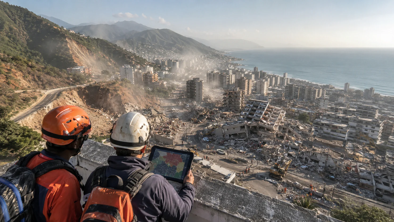
When the earth shakes, the clock starts ticking. For first responders in urban environments following an earthquake, the first minutes and hours are crucial for locating survivors and assessing damage.
Following a pair of 7.2 and 7.5 magnitude earthquakes that struck northern Venezuela on June 24, emergency technology high above the earth snapped into action before the dust had settled to give officials on the ground the information they needed to save lives. A geospatial data coordination consolidated under the United Nations ecosystem involving NASA, the European Copernicus program, and Microsoft’s AI for Good Lab put a digital triage system to the test to help optimize critical decisions made by rescue teams under extreme conditions.
Radar Amid the Dust: Copernicus’ Response
On Venezuela’s northern coast, dust clouds over La Guaira and parts of Caracas caused by fallen buildings rendered normal satellite imagery nearly useless.
In response, the European Union immediately activated its Copernicus emergency mapping mechanism, harnessing the power of the Sentinel-1 satellites.
Its technology lies in Synthetic Aperture Radar (SAR). Instead of taking conventional photos, SAR emits energy pulses that bounce off the Earth’s surface and return to the sensor.
Since these radio waves pass through the atmosphere undeterred by clouds, dust or the darkness of night, scientists can obtain a continuous snapshot of the terrain.
By comparing the electromagnetic bounce signals collected before the earthquake with those obtained hours later, various machine learning models autonomously identified variations in ground texture.
This allowed for the detection of highway blockages caused by landslides and cracked bridges, guiding rescue workers to passable routes.
Measuring Cracks from Space
On a macro scale, NASA deployed its Radar Interferometry (InSAR) tools, a millimeter-precision technique that compares the phase of radar waves at different times.
Preliminary data from the NISAR mission (developed in collaboration with the Indian Space Research Organization, ISRO) confirmed severe displacements in the Earth’s crust, recording horizontal ground movements of up to 40 centimeters.
With these deformation maps in hand, the Conflict Ecology Lab at Oregon State University (OSU) processed the readings to project the impact on urban infrastructure.
The researchers’ assessment suggested that upwards of 58,870 buildings suffered severe damage or collapsed entirely.
This probabilistic heat map allowed the United Nations and emergency response teams to focus their resources on the most densely populated and vulnerable residential areas, avoiding the loss of valuable time inspecting stable zones.
Structural Classification Under the Microsoft Banner
In a smaller-scale analysis, Microsoft’s AI for Good Lab focused its resources on processing very high-resolution optical images using its Planetary Computer platform.
Computer vision models trained for image segmentation mapped more than 210 square kilometers of the central coastline and the Venezuelan capital.
The methodology was based on probabilistic models. Rather than making deterministic judgments, a task that still requires civil engineers on the ground, the AI assigned structural risk levels to each city block.
This algorithmic assessment was crucial for the field; according to the official damage report from the International Organization for Migration, this data cross-referencing made it possible to determine that 31.5% of the structures in Catia La Mar, one of the worst impacted cities in the La Guaira state, sustained severe damage.
Today, with rescue missions now complete, this same probabilistic map serves as the analytical basis for civil engineers to plan controlled demolitions and urban exclusion zones.
Interoperability in the Midst of Chaos
One of the biggest lessons from this emergency is that isolated technology is of little use. For the efforts of NASA, the EU, and Microsoft to translate into real rescues, unifying the information was essential. By integrating these geospatial analyses into the UN’s open repositories, first response teams were able to work under a single interactive map.
This technological coordination following the earthquake in Venezuela demonstrates that artificial intelligence applied to Earth observation is no longer a laboratory experiment; today, it is an indispensable operational resource.
The joint effort not only optimized response operations during the darkest moments of the crisis but also established a methodological precedent for the era of urban resilience in the face of climate change and geological risks.
